Drones & Cameras
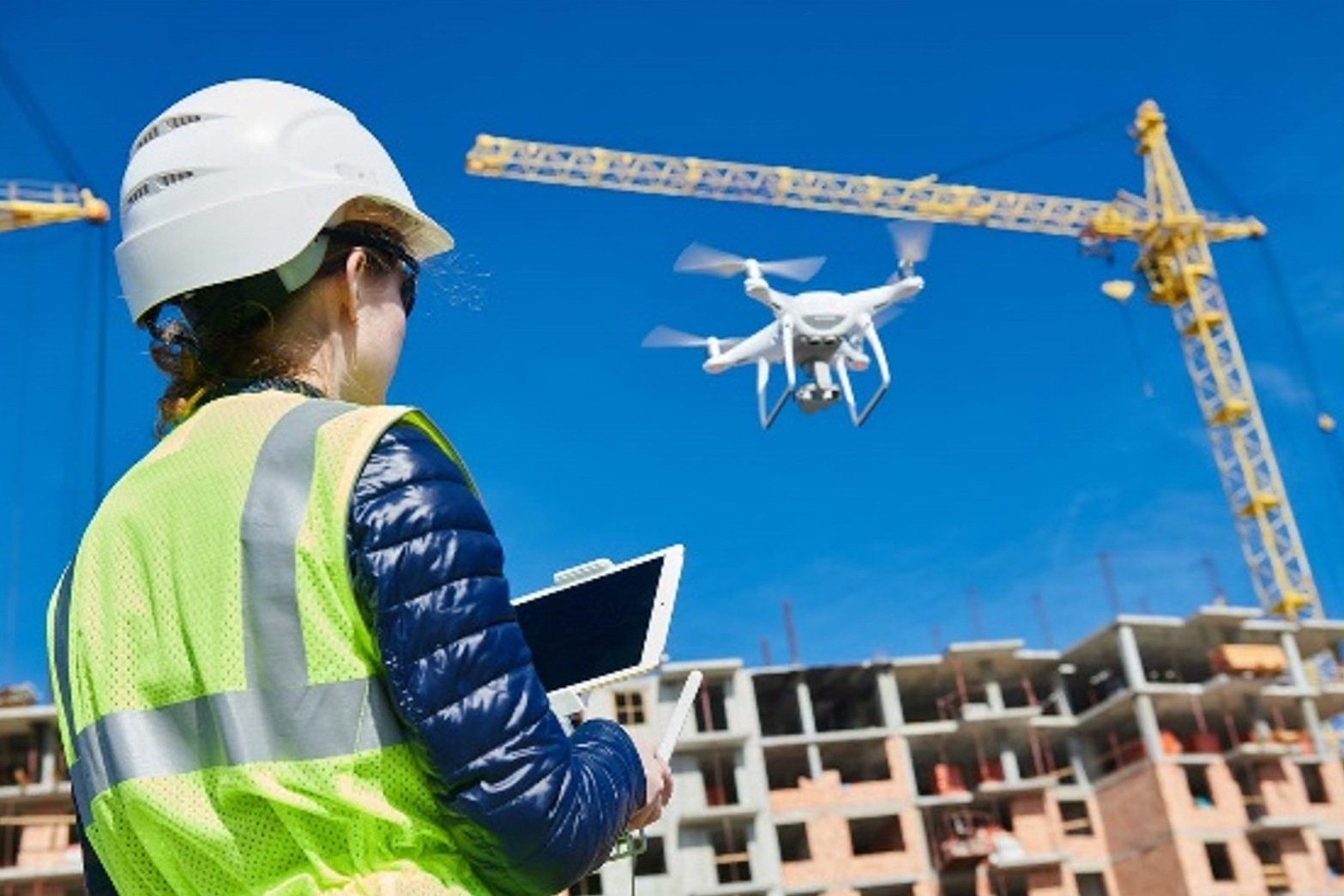
We deploy drones, 3D cameras with LiDAR scanners, and AI technologies to capture 3D spatial data used to create accurate 3D models/digital twins, high resolution photography, and survey reports for:
- Site Surveys
- Building / Facility Inspections
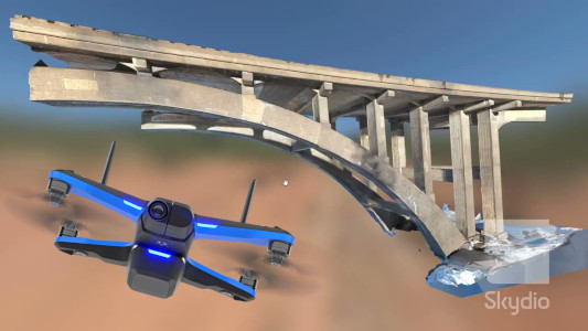
- Bridge and Structural Inspections
- Sewer Assessment
- Aerial Photographs


Data Capture
All 2D and 3D data capture work and AI generated reports provide digital photos, videos, 3D models, and support documentation for:
- Construction Planning
- Site Surveys and Mapping
- Construction Progress Monitoring
- Construction Process and Phase Completion Milestones
- Construction Evaluation and Quality Control Assessments
- As-Built Assessments

